Mapping crises for the American Red Cross and the UN with GitHub
How many students can help solve urgent problems within weeks of writing their first lines of code? In Taichi Furuhashi’s “Introduction to Spatial Information Systems I” at Aoyama Gakuin University…
How many students can help solve urgent problems within weeks of writing their first lines of code?
In Taichi Furuhashi’s “Introduction to Spatial Information Systems I” at Aoyama Gakuin University in Japan, students collaborate with organizations like the American Red Cross, the World Bank, the United Nations and the Japan International Cooperation Agency.
For Furuhashi, President of CrisisMappers Japan, student engagement and active learning are his primary design principles. The relatively new program helps students work together to make new tools that solve big problems.
Furuhashi’s courses have been dedicated to alleviating disasters, and his students work on different aspects of providing accurate and up-to-the-minute data to aid in relief to NGOs and industry partners.
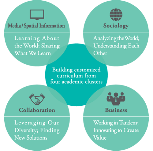 Design principles behind the School of Global Studies and Collaboration.
From OpenStreetMap to GitHub Gist
In July of 2017 the Asakura City region of Japan was hit with heavy rains and flooding. Whole sections of southern Japan were impassible, and residents urgently needed resources like water and food.
Organizations like the Red Cross used the Humanitarian OpenStreetMap Team’s tasking manager (called HOT for short) to post requests for analysis of affected regions.
](https://github.blog/wp-content/uploads/2017/11/32577499-25ee9942-c4a8-11e7-9b53-dc9ec0e05e1a.png?resize=2756%2C1949) Students in Taichi’s class accept a request for mapping help from the Humanitarian Open Street Map tasking manager (a.k.a. HOT).
Students in Taichi’s class accept a request for mapping help from the Humanitarian Open Street Map tasking manager (a.k.a. HOT).
Photos of the affected regions come in via probe drone, satellite, or panoramic camera. Students draw polygons on maps that match up with these photos to show affected regions, like mudslides, downed forests, or collapsed bridges. Then they export the GeoJSON data to a GitHub Gist file (like this one) and send the analysis back to organizations the Red Cross via HOT.
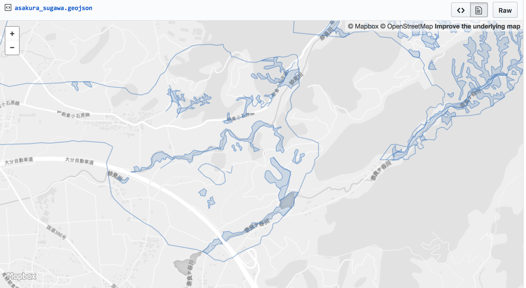
This map captures the heavy rain caused by Typhoon No. 3 on June 30, 2007. It’s based on images taken by helicopter by the Ministry of Land, Infrastructure and Transport. The polygons and lines indicate potentially impassable roads due to mudslide and the general reach of the flood.
The contributions that students make—their polygons and data analysis—can help authorities decide where to send resources and find flood and landslide victims. By helping local crises, the work of the class is always relevant and urgent.
GitHub 101 in Japanese
As the Director of OpenStreetMap Foundation Japan, Furuhashi involves students directly in the open source communities he’s a part of. This means mastering the GitHub flow, using GitHub Pages to make portfolio sites, and participating in open source communities.
He produced a slide deck to help onboard students to the world of GitHub and introduce them to the world of open source. The slides are, naturally, under an open license: CC BY-SA 4.0.
](https://github.blog/wp-content/uploads/2017/11/31974432-b5bf0b48-b8f9-11e7-8eec-7b414fde2317.png?resize=1262%2C1056)
Written by

Related posts

GitHub availability report: June 2026
In June, we experienced six incidents that resulted in degraded performance across GitHub services.
Q1 2026 Innovation Graph update: Open source collaboration is accelerating worldwide
New Innovation Graph data shows global developer communities growing faster than ever, with collaboration reaching new highs across many economies.
GitHub joins coalition advocating for fixes to California AI Transparency Act to protect open source
We’re calling for targeted amendments to resolve conflicts with open source licensing and align with international transparency frameworks while preserving regulatory intent.