Skip to content

Diffable, more customizable maps

We're excited to announce two improvements to mapping on GitHub today: diffs and feature-level customizations. Visualizing changes over time We added the ability to visualize geospatial data to GitHub last…

Author

We’re excited to announce two improvements to mapping on GitHub today: diffs and feature-level customizations.

Visualizing changes over time

We added the ability to visualize geospatial data to GitHub last summer, but the true value of version control comes not from where your information is now, but how it’s changed over time, and where others propose it should be.

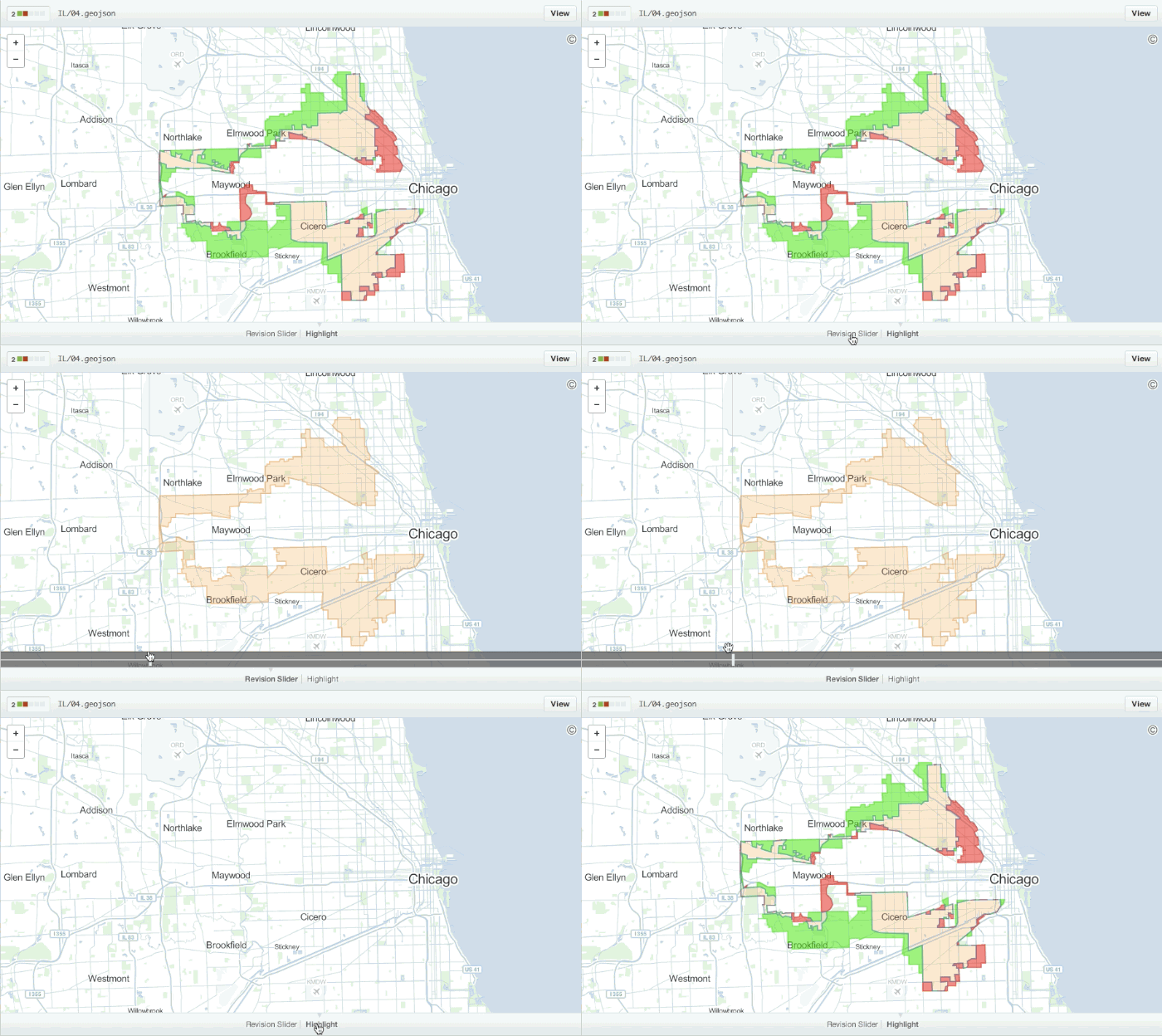
Starting today, any time you view a commit or pull request on GitHub that includes geodata, we’ll render a visual representation of what was changed. For example, here’s a diff of Illinois’s famed 4th congressional district after undergoing redistricting in 2011:

Illinois 4th Congressional district

We’ll even diff properties within the geometry when they change:

Updating a property

Customizable maps

We’ve also made some changes under the hood to make mapping geoJSON files on GitHub faster and more customizable.

In addition to more-responsive, retina-ready maps, you can now customize individual features by specifying properties such as the fill color or opacity within the geoJSON file itself like the National Park Service did here:

simple style spec

We’ve implemented version 1.1.0 of the open simplestyle specification, so be sure to check out the full documentation for the details.

Happy collaborative mapping!

Explore more from GitHub

Product

Product

Updates on GitHub products and features, hot off the press.
The ReadME Project

The ReadME Project

Stories and voices from the developer community.
GitHub Copilot

GitHub Copilot

Don't fly solo. Try 30 days for free.
Work at GitHub!

Work at GitHub!

Check out our current job openings.